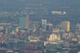
Aerial photographs of Manchester
The city centre, Old Trafford, the Trafford Centre, Salford Quays, Mode Wheel Locks and Trafford Park, photographed from a light aircraft.

A city photographed while it was rebuilding itself: from the air, after dark, and street by street as the cranes moved in.
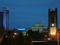
Every Manchester page in the archive, grouped by how the city was photographed.
The city centre, Old Trafford, the Trafford Centre, Salford Quays, Mode Wheel Locks and Trafford Park, photographed from a light aircraft.
Long exposures of the skyline: the cathedral, the CIS Tower, Urbis and the Arndale Centre.
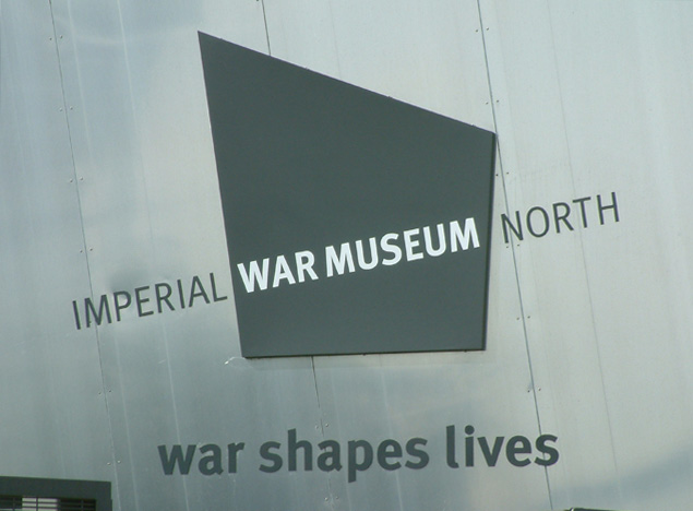
The Lowry Centre, the Imperial War Museum North, the Centenary Bridge and Allied Mills.
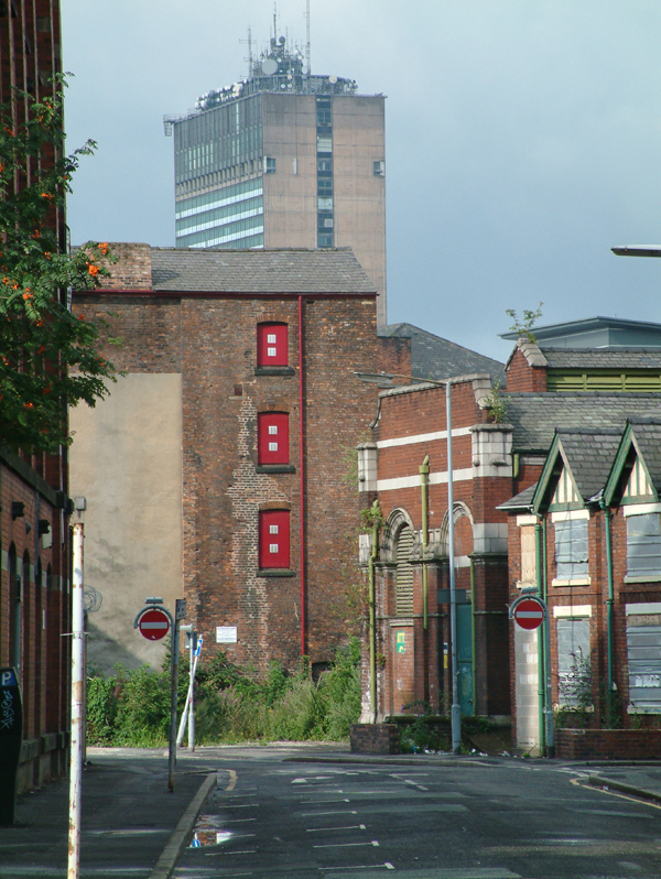
The same streets photographed years apart: Ancoats, the Arndale, and the site of Barton Power Station.
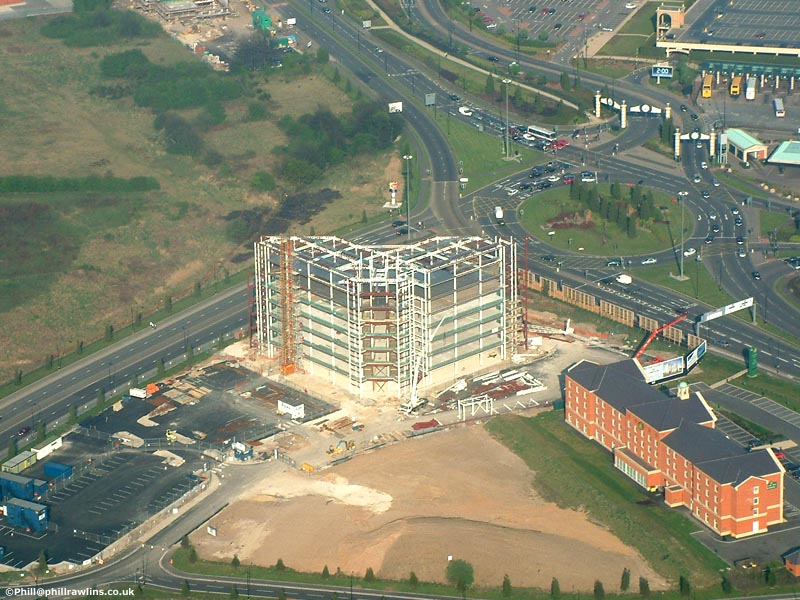
Venus at Trafford Quays, the Spinningfields site, and the redevelopment of Ancoats, photographed as the work progressed.
How the Manchester Docks became a cultural quarter, with the Lowry, the Imperial War Museum North and the Erie Basin.
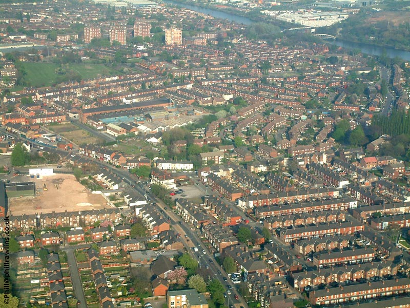
Eccles, Peel Green, Mode Wheel Locks, Worsley Delph and the swing bridges at Barton.
The first running of the Great Manchester Run, along Trafford Park Road and the Wharfside.
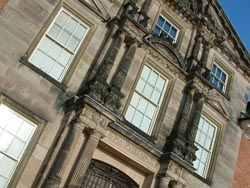
The house, the old mill, the water wheel and the stable block, just south of Altrincham.
The Manchester in these photographs is not the Manchester of the IRA bomb, and not the Manchester of today. It sits between the two: the scaffolding has gone up and the cranes have arrived, but a great deal of the skyline is still missing.
Ancoats was still largely derelict when the Changing Manchester photographs were taken; the Express Buildings had just been redeveloped and its neighbours had not. Spinningfields was a cleared site. The Imperial War Museum North had recently opened on the opposite bank at Trafford Wharf, the Lowry Centre was new, and the docks that had once handled ocean-going traffic were being turned into apartments.
Two flights in a light aircraft produced the aerial material: one in 2002, one in 2003. That gap of a year is the reason the pair of city centre views is worth looking at side by side — the cranes have moved, and one or two buildings have appeared where there was nothing before.
The night photographs were taken from a stable surface with long exposures, which is a slow and deliberate way to work but the only way to do it without a tripod and a permit. The photography notes set out the technique in more detail.
Some photographs did not survive. The original site carried images of Spinningfields, the Salford gasometers, Allied Mills, Oxford Road station, the Key 103 airship, the M62 at rush hour, Winter Hill and Eccles town centre. Those files were never captured by the Internet Archive. Where a section has lost photographs, the page says so.
The city centre views were taken in August 2002 and April 2003. The other aerial images on the aerial page come from the same two flights.
Mostly, but not all. Ancoats and Spinningfields have been transformed, and several of the buildings under construction here have since been joined by others. Pages note where something has changed.
In some cases. The aerial photographs are the hardest to repeat, because they needed an aircraft. The street level views in Changing Manchester are easier to match up.