
Changing Manchester
The same city, photographed at different times: what was there, what replaced it, and what was still a cleared site.
Photographs that document change rather than places: the same ground at different points in its life. Click any image for a larger view.
Ancoats
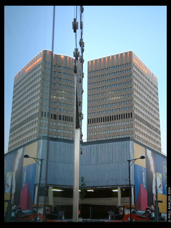
The Express Buildings, photographed during construction in 1979 and again after redevelopment in 2002.
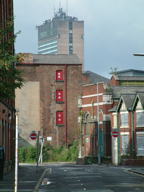
One half of the pair is gone. The 1979 photograph of these buildings during construction was not captured by the Internet Archive. The comparison the original page offered cannot now be made, and rather than replace the frame with an unrelated image the page says so.
What replaced what
Why photograph change?
Anyone photographing a city should photograph the same view repeatedly. Two frames of the same street taken eight months apart document more history than a hundred frames taken on a single afternoon, because they record not what a place looked like but what happened to it.
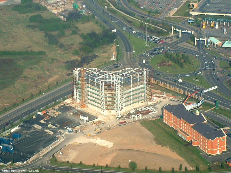
The pages that have aged best in this archive are the ones built that way. The Manchester Developments page follows the same sites as they were built up, and the aerial photographs include the city centre from two flights a year apart.
This page and its history
Changing Manchester was linked from the gallery index but was never finished: it served a 404 message for its entire life. It has now been written with the material that survives, and the missing pairs are described rather than faked.
What is still recognisable
The terraced streets in the aerial photographs are the most durable thing here: Stretford and Whalley Range look much as they did, and the same is true of the parts of Salford covered on the Eccles and Barton page. The industrial land along the canal is what has changed most, and it is still changing.