
Caithness and the far north

The most northerly part of mainland Britain, photographed in 2003: John O’Groats, Dunnet Head, Duncansby Head and the coast between them.

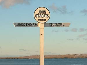
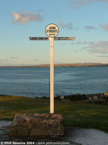
The John O’Groats signpost pointing to Land’s End and other destinations

The most northern point on mainland Britain, John O’Groats is the obvious place to start when touring this area. Many people start here, having travelled the A9 up to the north east corner of Scotland, but by the time they reach John O’Groats they have passed some of the best scenery in the UK.

A few miles to the west lies Dunnet Head and the town of Thurso. The area is great for walking and relaxing, with quiet roads and clean crisp air, and some of the best coastal scenery in the UK.

The photographs on this page are a selection taken in 2003.

What there is to see

Caithness is a low, flat county that ends abruptly at the sea. It is not the mountainous Highlands that most visitors expect: the land is mostly flagstone moor and farmland, and the drama is all in the coast, which is among the most exposed in Britain.

Four places account for most of what people come to see. John O’Groats is the village at the north eastern tip, famous for its signpost and for being the end point of the journey from Land’s End. Dunnet Head, a few miles west, is the actual most northerly point of the mainland, and looks across the Pentland Firth to Orkney. Duncansby Head is the north eastern corner, with the Stacks of Duncansby standing in the sea below its cliffs. And the Castle of Mey, west of John O’Groats, was the Queen Mother’s home in Caithness.

The sea

The Pentland Firth separates Caithness from Orkney and is one of the most treacherous stretches of water around the British coast, with tides running at up to sixteen knots. From Dunnet Head you can watch it work: the water is never still, and on a clear day the island of Stroma sits in the middle of it, abandoned since the last families left in 1962.

It is a landscape for long walks, low light and weather that changes quickly. The photographs here were taken over a short stay and are mostly of the coast, because that is what the place is.
John O’Groats

Most of this section did not survive. The original page carried sixteen photographs of Caithness: two views of Keiss Castle and the evening sun there, Dunnet Head, the Long Loch, the Isle of Stroma, the sunset behind the Scarabens, Duncansby Head Lighthouse, Dunnet Head Lighthouse, the view west from Dunnet Head, Dunnet Forest, the Old Man of Hoy, Barrogil, the Castle of Mey, and Dunnet Head lighthouse and its surroundings under snow.

Only the John O’Groats signpost was captured by the Internet Archive. The rest of the page is described in text rather than illustrated with substitutes, and if you hold copies of any of those photographs, please get in touch.

What each missing photograph showed

The original captions are preserved below, so the record of what was photographed survives even though the files do not.

  • Keiss Castle and the evening sun at Keiss. The ruined sixteenth century castle on its cliff edge north of Wick, photographed as the sun went down behind it.
  • Dunnet Head. The headland itself, the most northerly point of the mainland, with its lighthouse of 1831.
  • The Long Loch. A loch on the moorland behind the north coast, a landscape of peat, heather and standing water.
  • The Isle of Stroma. The abandoned island in the Pentland Firth, whose last inhabitants left in 1962.
  • The sunset behind the Scarabens. The Scarabens are the hills inland from Dunnet, and the sun sets behind them from the north coast in midsummer.
  • Duncansby Head Lighthouse. The light at the north east corner of the mainland, with the Stacks of Duncansby nearby.
  • Looking west from Dunnet Head. The coast towards Thurso, with the cliffs of the north coast receding.
  • Dunnet Forest. A plantation on the moor, planted in the 1950s on what had been open Caithness flagstone country.
  • The Old Man of Hoy. The sea stack off Orkney, visible from the Caithness coast on a clear day.
  • Barrogil. Barrogil Castle, a ruined fortalice on the coast near Scrabster.
  • The Castle of Mey. The sixteenth century castle bought by the Queen Mother in 1952 and restored by her.
  • Dunnet Head under snow. Two views of the headland and its lighthouse in winter conditions.

Further information

More photo galleries →