
Aerial photographs around Manchester
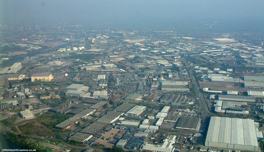
Two flights in a light aircraft, a year apart, over Manchester, Salford and Trafford Park.
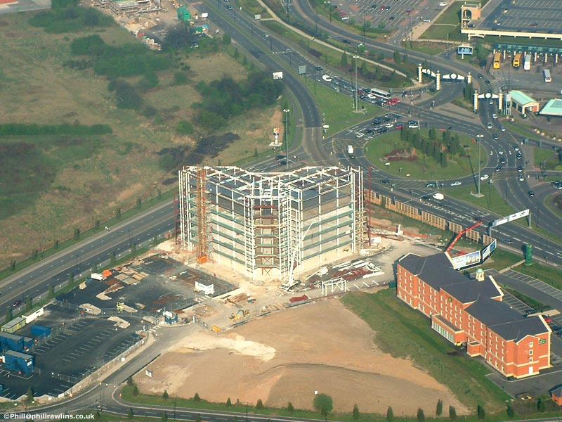
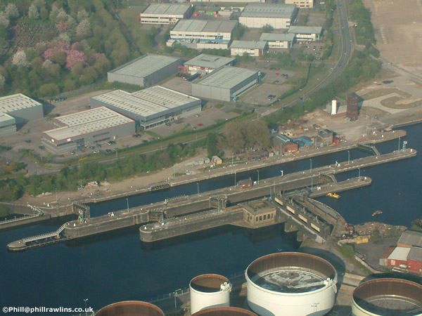
The photographs below were taken from a light aircraft over Manchester and Salford. Click any image for a larger view.
The city centre
Two views of Manchester city centre, taken in August 2002 and April 2003.
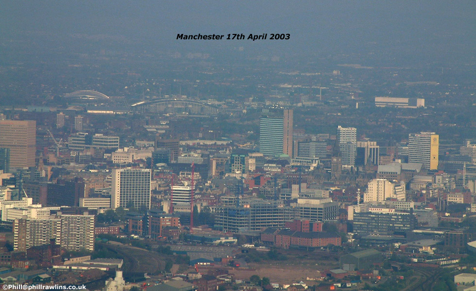
The August 2002 frame that sat alongside this one was not captured by the Internet Archive. The 2003 view is shown on its own rather than replaced.
Salford Quays
Two views of Salford Quays showing the Lowry Centre, photographed from the air.
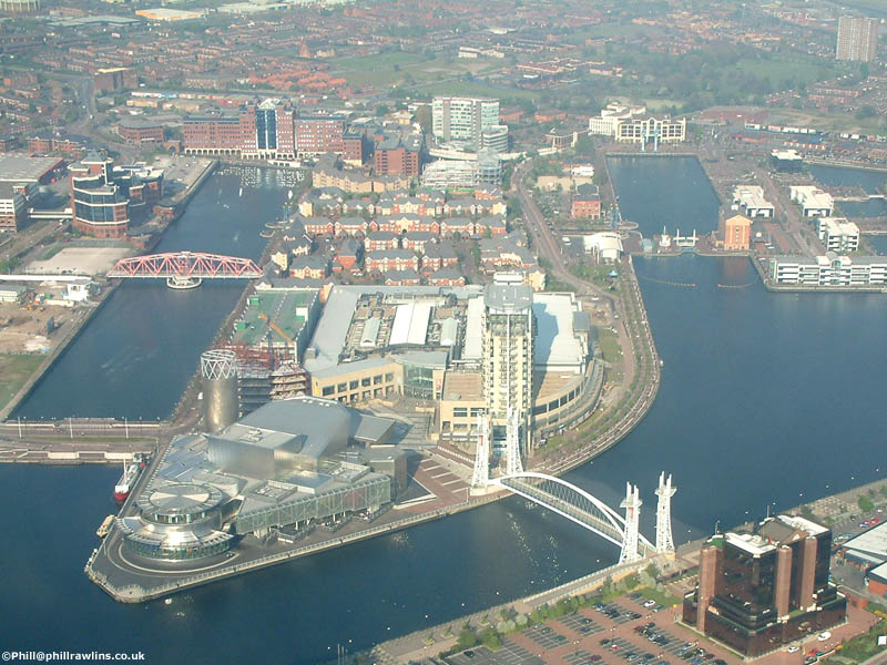
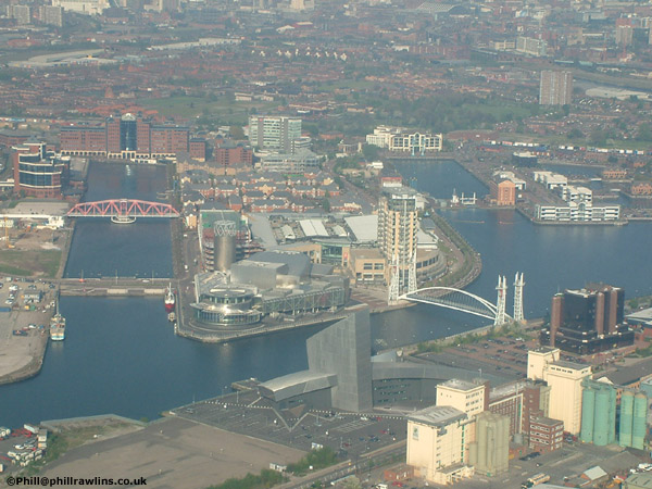
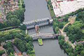
The swing bridges at Barton
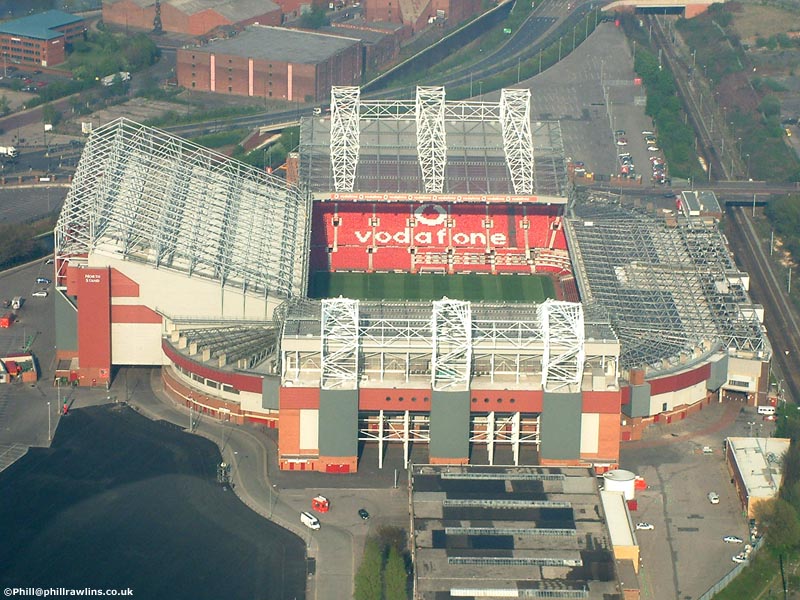
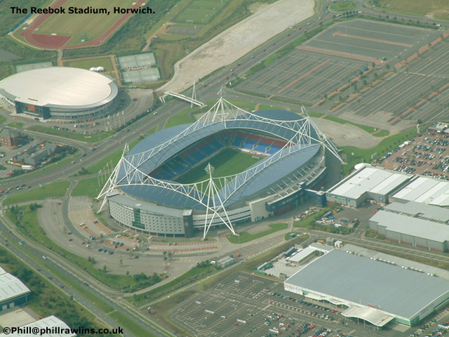
Sport and shopping
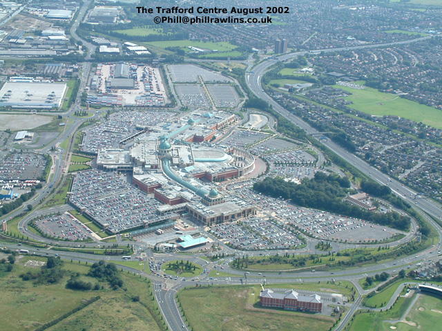
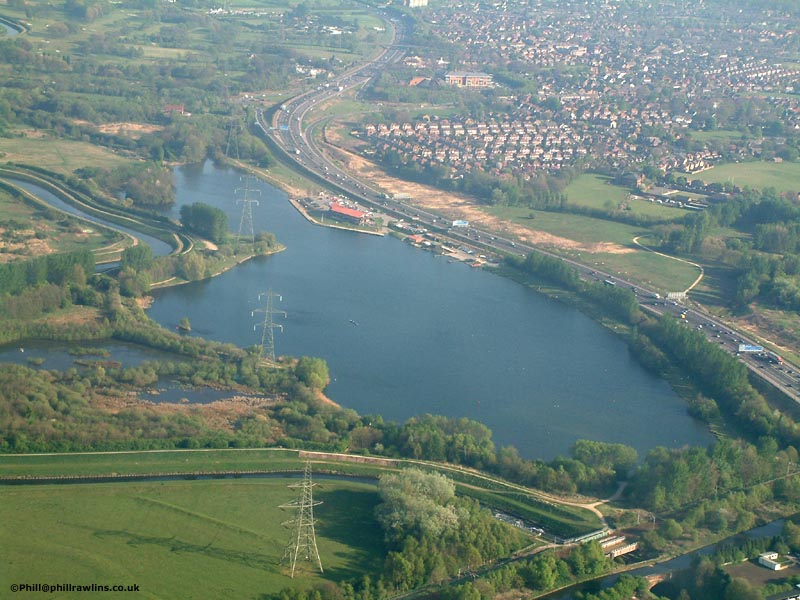
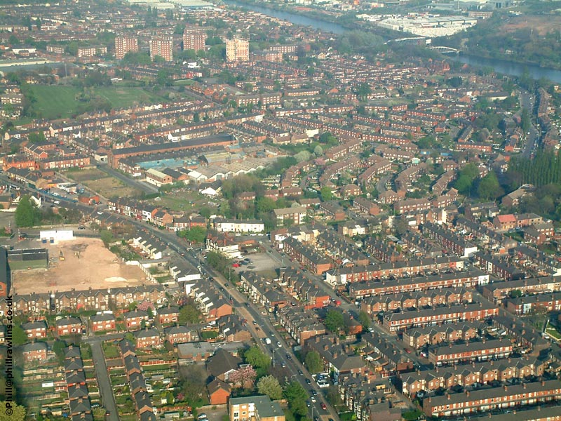
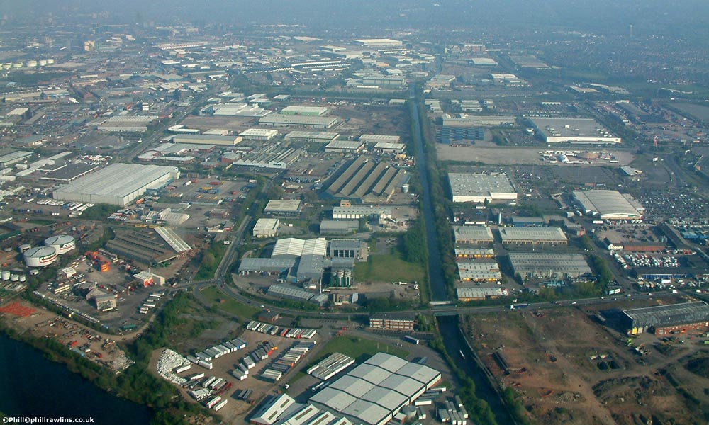
Trafford Park and the canal
About these photographs
Both flights were made in a light aircraft from Barton Aerodrome, which is the practical way to photograph a city from above: a high-wing aircraft with a window that opens, a pilot willing to circle a landmark, and a shutter speed fast enough to freeze the vibration coming through the airframe.
Shooting through aircraft glazing is the main obstacle. The glass is rarely clean, it reflects the cabin interior, and it is cold enough to fog. The frames that work are usually those taken with the lens close to the glass, the camera not touching the airframe, and the aircraft held in a steady turn.
What is missing from this page
The original page carried additional aerial views of Winter Hill, an Eccles town centre shot, and a photograph of the former Barton Power Station site. Those image files were not captured by the Internet Archive and no copies are known to exist, so they are absent here rather than represented by something else.